Impress employers and recruiters.
Choose from hundreds of resume examples.
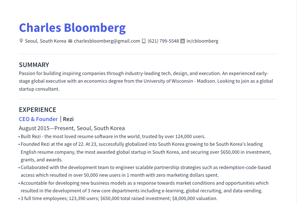
Impress employers and recruiters.
Choose from hundreds of resume examples.
Tailor your resume to this Canada - Geospatial Data & GIS Solutions Lead role.
Rezi rewrites your resume against Barrick Mining Corporation's job description. Free.
Tailor your resume to this Canada - Geospatial Data & GIS Solutions Lead role.
Rezi rewrites your resume against Barrick Mining Corporation's job description. Free.
Don't guess if your resume is good enough.
See how it scores against the Canada - Geospatial Data & GIS Solutions Lead posting at Barrick Mining Corporation — free, in seconds.
Don't guess if your resume is good enough.
See how it scores against the Canada - Geospatial Data & GIS Solutions Lead posting at Barrick Mining Corporation — free, in seconds.
About the Role
Barrick is looking for a Geospatial Data & GIS Solutions Lead to support and advance geospatial data, GIS, remote sensing, data integration, and technical automation capabilities across Exploration. This role operates at the intersection of geoscience, GIS, remote sensing, data management, and development, ensuring Exploration datasets are captured, organized, integrated, quality-controlled, accessible, and reusable. The position combines strong geospatial expertise with hands-on technical development using Python and geospatial technologies to improve, automate, and standardize workflows.
Responsibilities
- Work with geological, geochemical, geophysical, remote-sensing and other Exploration datasets across GIS, databases, project environments and web-based platforms.
- Support and improve workflows using ArcGIS Pro, ArcGIS Enterprise, ArcGIS Online, Web GIS, Field Maps and Survey123.
- Compile, integrate, QA/QC and standardize geospatial and geoscience datasets; improve how spatial data is structured, documented, discovered, shared and reused.
- Help establish practical geospatial data standards, metadata, naming conventions and reusable project structures aligned with corporate standards and protocols.
- Work with raster, satellite and remote-sensing datasets; process, analyze, integrate and visualize them alongside geological, geochemical and geophysical information.
- Use Python to automate repetitive geospatial and data-processing workflows and develop scripts, tools and lightweight solutions for GIS, compilation, QA/QC, analysis and integration.
- Use ArcPy and other geospatial Python libraries where appropriate, and work with SQL, APIs and spatial databases to connect GIS with other Exploration data systems.
- Identify manual or repetitive workflows and determine opportunities to simplify, standardize or automate them before introducing new technology.
- Participate in Git/version-control and modern development practices and collaborate with data engineering and analytics/development specialists to move useful prototypes into reliable operational workflows.
- Use approved AI-assisted development tools responsibly where they can improve development, learning, documentation or workflow efficiency.
- Work directly with geologists, geochemists, geophysicists, GIS/geoscience data specialists, data engineers and analytics/development resources to understand requirements and co-create practical solutions.
- Document datasets, systems and workflows; support knowledge transfer so important technical knowledge is reusable and understood by the broader team.
- Support field and office-based Exploration workflows and travel to projects or regional offices as required.
- Promote continuous improvement in GIS, geospatial data management, integration and automation practices.
- Comply with Barrick Health & Safety, Code of Conduct, Human Rights, Environmental and Community Relations requirements and applicable company policies.
Requirements
- Academic degree in Geography, GIS/Geomatics, Geospatial Science, Remote Sensing, Computer Science, Geoscience, Geological Engineering, Surveying or a related technical discipline required
- Strong understanding of GIS and geospatial data concepts and practices, with hands-on experience using professional GIS technologies, preferably the Esri ecosystem required
- Experience working with both vector and raster geospatial datasets, including remote sensing, satellite imagery or raster processing required
- Hands-on Python programming experience, preferably applied to geospatial data processing, analysis, automation or development preferred
- Strong understanding of coordinate systems, projections, spatial data quality, QA/QC and sound data-management practices preferred
- Experience compiling, managing, standardizing or integrating geospatial datasets preferred
- Strong analytical and practical problem-solving skills, including the ability to understand existing workflows and user needs before selecting a technical solution preferred
- Ability to communicate and collaborate effectively with technical and non-technical users across multidisciplinary Exploration teams preferred
- Strong orientation toward continuous learning and improvement; ability to work independently while collaborating effectively with the broader team preferred
- Valuable but not all required: ArcPy, SQL/SQL Server, spatial databases, APIs, FME/ETL, Git, Azure DevOps, ArcGIS Enterprise/Online, Web GIS, Field Maps, Survey123, cloud geospatial technologies, data pipelines, Leapfrog, Geosoft, Power BI, geoscience/mining data, machine learning or AI-assisted development preferred
- Experience in mineral exploration, mining, geology, geophysics, geochemistry, remote sensing or natural resources is highly valuable; strong candidates from other geospatial or scientific backgrounds preferred
- Eligible to live and work in the applicable country required
- Availability for occasional travel to Exploration projects and regional offices required
Skills
- Geospatial Data
- GIS
- Remote Sensing
- Data Integration
- Technical Automation
- Python
- ArcGIS Pro
- ArcGIS Enterprise
- ArcGIS Online
- Web GIS
- Field Maps
- Survey123
- ArcPy
- SQL
- APIs
- Spatial Databases
- Git
- AI-assisted development
Location
- Exploration projects
- Regional offices
Work Type
- Full-time
- Occasional travel
Experience Level
- Lead
Education Level
- Academic degree in Geography, GIS/Geomatics, Geospatial Science, Remote Sensing, Computer Science, Geoscience, Geological Engineering, Surveying or a related technical discipline
Benefits
- Competitive medical, dental, and vision plan with national provider networks
- 401k retirement plan with employer contribution
- Paid time off
- Company-sponsored medical clinics
- Company match share purchase program
About the Company
- Barrick is a collaborative, diverse, and dynamic mining company.
- Our vision is to be the world’s most valued gold mining business by finding, developing, and operating the best assets with the best people.
- We are committed to a safe work environment sending every person home safe and healthy every day and leaving a sustainable legacy on our host communities.
Equal Opportunity
- Barrick is committed to creating a diverse environment and is proud to be an equal opportunity employer