Impress employers and recruiters.
Choose from hundreds of resume examples.

Impress employers and recruiters.
Choose from hundreds of resume examples.
Tailor your resume to this Field Technician (GIS/ArcGIS) role.
Rezi rewrites your resume against MasTec Utility Services's job description. Free.
Tailor your resume to this Field Technician (GIS/ArcGIS) role.
Rezi rewrites your resume against MasTec Utility Services's job description. Free.
Don't guess if your resume is good enough.
See how it scores against the Field Technician (GIS/ArcGIS) posting at MasTec Utility Services — free, in seconds.
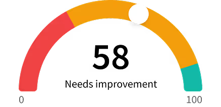
Don't guess if your resume is good enough.
See how it scores against the Field Technician (GIS/ArcGIS) posting at MasTec Utility Services — free, in seconds.
About the Role
The Field Technician is responsible for making maps, geographic information systems applications, manipulating and understanding digital land data, and managing data entered in a GIS database. Familiarity with the ESRI ArcGIS platform and other GIS tools is required, along with knowledge of implementing and writing schema and attributes into the GIS database.
Responsibilities
- Manage the ArcGIS/ESRI Group platform.
- Support the third-party design effort.
- Develop mobile and desktop applications.
- Ensure engineering/design activities in GIS comply with company and contract requirements and support overall construction schedule.
- Audit third party design platforms to ensure compliance to approved schema and attributes.
- Provide technical support for design.
- Assist in the development and implementation of field computer applications to facilitate the control and collection of data for mapping (GPS)(GIS)(KMZ).
- Troubleshoot ESRI platform and third-party designers for any anomalies in the system or processes.
- Keep documentation and GIS database up to date and accurate at all times.
- Performs other duties as assigned.
Requirements
- BS in Engineering, Computer Science, or equivalent relatable experience.
- 5+ years’ experience in ESRI ArcGIS software and Geo-database experience.
- Must have computer skills in CAD, MS Office programs, field applications for surveying and data management.
- This position may require significant time standing or walking on uneven ground, possible climbing of ladders or being in high places, working in tight spaces, lifting up to 50 pounds, and, in general, being overall physically demanding.
- It may also require work in an all-weather environment.
Skills
- ESRI ArcGIS
- Geo-database
- CAD
- MS Office
- Field applications for surveying and data management
- GPS
- GIS
- KMZ
Experience Level
- 5+ years
Education Level
- BS in Engineering
- BS in Computer Science
- Equivalent relatable experience
About the Company
- MasTec Professional Services delivers critical infrastructure construction and engineering services for power delivery, gas, and water customers, specializing in overhead and underground electric distribution for power delivery systems, gas distribution construction for gas systems, and turnkey solutions for a variety of water, sewer, and civil infrastructure projects.
- Backed by the strength of decades of experience, unrivaled industry skills, and a deep commitment to core values, MUS delivers safe, innovative, and environmentally responsible services that provide extraordinary value to clients.
Equal Opportunity
- The Company’s policy is not to unlawfully discriminate against any applicant or employee based on race, color, national origin, ethnicity, sex, gender, sexual orientation, religion, marital status, age, disability, genetic information, military or veteran status, or any other basis protected by applicable law and EEOC regulations.
- The Company also prohibits harassment of applicants or employees based on any of these protected categories.