Impress employers and recruiters.
Choose from hundreds of resume examples.
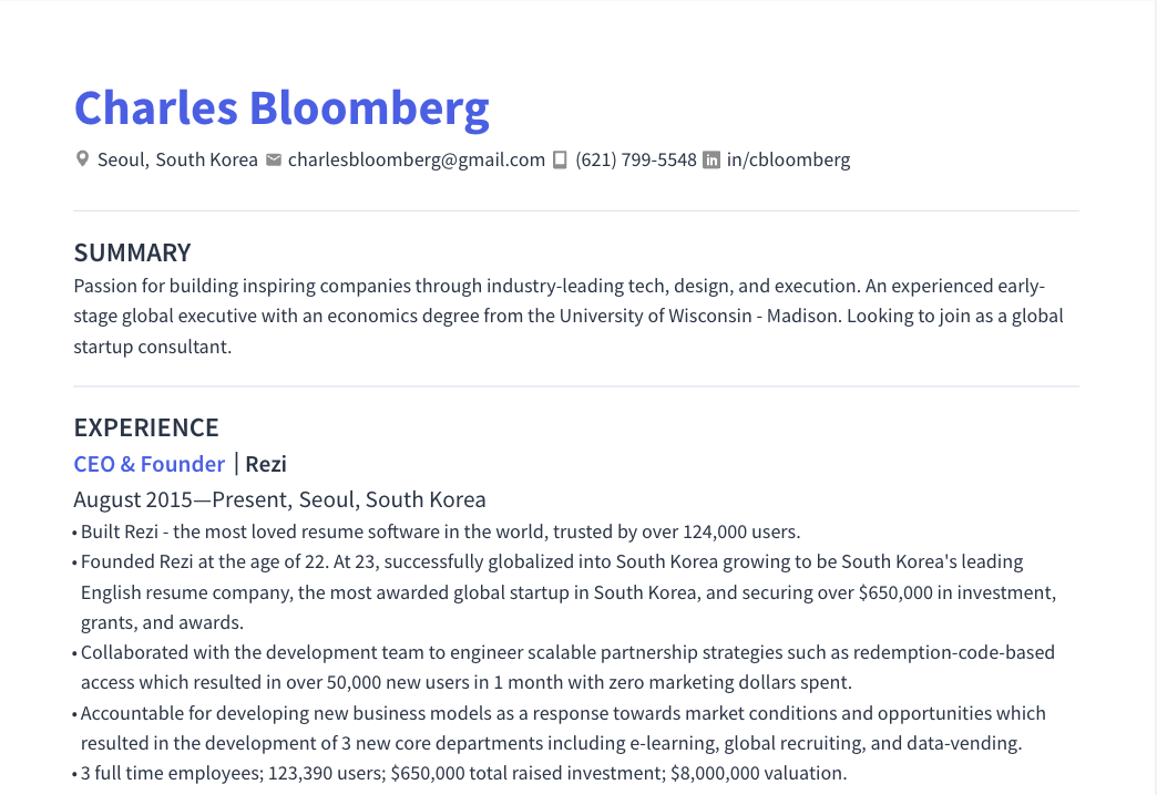
Impress employers and recruiters.
Choose from hundreds of resume examples.
Target Resume Now
About the Role
We are seeking a skilled professional to continuously develop and shape the technical architecture of our WebGIS solutions. You will develop innovative GIS applications, manage geodata, analyze and visualize data, and contribute to quality assurance. You will also participate in future-oriented projects in Big Data and Artificial Intelligence, and advise customers on technical and functional questions.
Responsibilities
- Conceive and continuously develop our WebGIS solutions and actively shape their technical architecture.
- Develop innovative GIS applications and ensure their reliable deployment and continuous optimization.
- Create complex GIS queries, analyze and process geodata, and prepare it for various application areas.
- Analyze, structure, and visualize diverse data with a focus on geodata, creating meaningful cartographic representations.
- Develop solutions for automated quality and plausibility checks of geodata to ensure high data quality.
- Participate in future-oriented projects in Big Data and Artificial Intelligence, contributing expertise to solution development.
- Support customers with technical and functional questions and guide the implementation of individual GIS solutions.
- Work closely with interdisciplinary project teams and actively contribute ideas to the development of our GIS products and infrastructure projects.
Requirements
- Solid professional experience in geoinformation systems, geodata management, or a comparable field.
- Very good knowledge of Python (especially GeoPandas, Pandas, and Jupyter) and experience with SQL and PostgreSQL/PostGIS.
- Practical experience with open-source GIS solutions such as QGIS, GeoNode, or GeoServer.
- Ideally, knowledge in building data pipelines (e.g., with Apache Airflow) and initial experience in Artificial Intelligence and Machine Learning (e.g., TensorFlow or Keras).
- Ideally, initial experience with municipal geodata and its professional processing.
- Good understanding of data visualization and cartographic representations, developing meaningful geoinformation products.
- Knowledge of Git and experience with agile development methods are advantageous.
- Analytical, structured, and independent work style with initiative and a passion for innovative solutions.
- Strong communication and teamwork skills, with very good German language proficiency in speaking and writing.
Skills
- Python
- GeoPandas
- Pandas
- Jupyter
- SQL
- PostgreSQL
- PostGIS
- QGIS
- GeoNode
- GeoServer
- Apache Airflow
- TensorFlow
- Keras
- Git
- Agile development methods
- Data visualization
- Cartography
- Big Data
- Artificial Intelligence
- Machine Learning
- Geoinformation systems
- Geodata management
About the Company
- aconium GmbH is among the Top 100 most innovative medium-sized companies in Germany, with over 350 employees.
- We live innovation, convince with competence, and shape the future together across Europe for over 15 years.
- aconium GmbH is a partner to the public sector, trusted by municipalities and ministries for support in regional development, digitalization, mobility, energy, and education.